Los Angeles mapbook
A public mapbook for Los Angeles transit-area policy geography, implementation areas, and incentive overlaps.
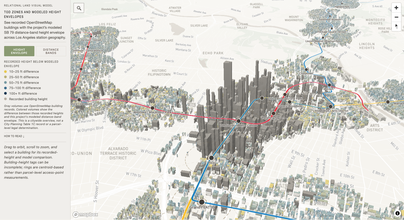
TOD zones and modeled envelope
Citywide 3D Overview
Recorded building geometry and the project’s modeled SB 79 distance-band height envelope across Los Angeles station geography.
- Source snapshot
- OpenStreetMap building footprints and height tags, paired with the project station-distance model · 2026-05-09
- Model version
- sb79-citywide-height-envelope fcff143c · model cataloged 2026-11-02
- Policy status
- Research visualization

Where the City model differs from SB 79
State–City Capacity
Compare where Los Angeles City Planning's May 2026 study found different residential floor-area totals under local rules and SB 79.
- Source snapshot
- Los Angeles City Planning May 2026 Table 1C and TOD-zone record, paired with OpenStreetMap building forms · 2026-05-05
- Model version
- sb79-state-city-building-layer 2026-11-05 · model cataloged 2026-11-05
- Policy status
- Dated City comparison
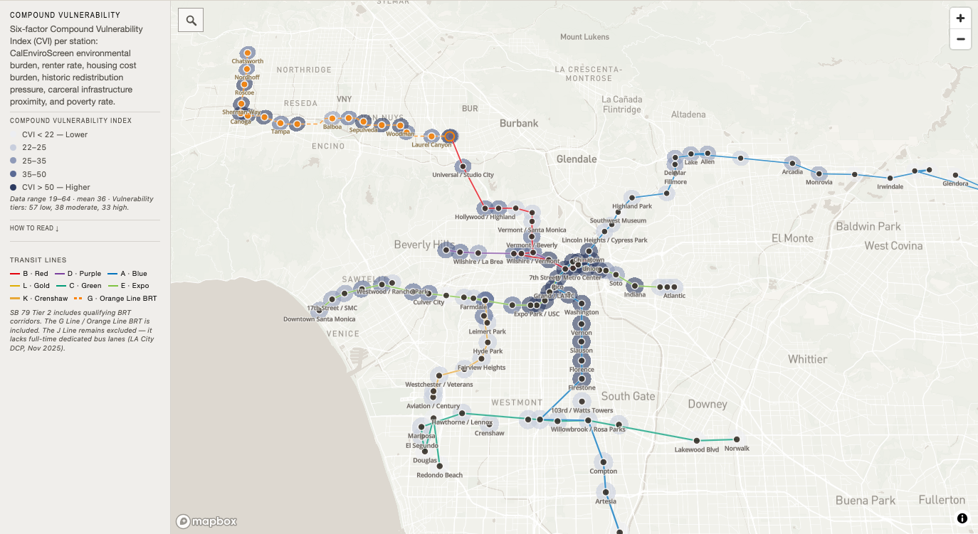
Exposure index
Compound Vulnerability
Six-factor Compound Vulnerability Index across station geographies.
- Source snapshot
- Project analytical source set · 2026-06-30
- Model version
- compound-vulnerability-index fcff143c · model cataloged 2026-11-02
- Policy status
- Research model